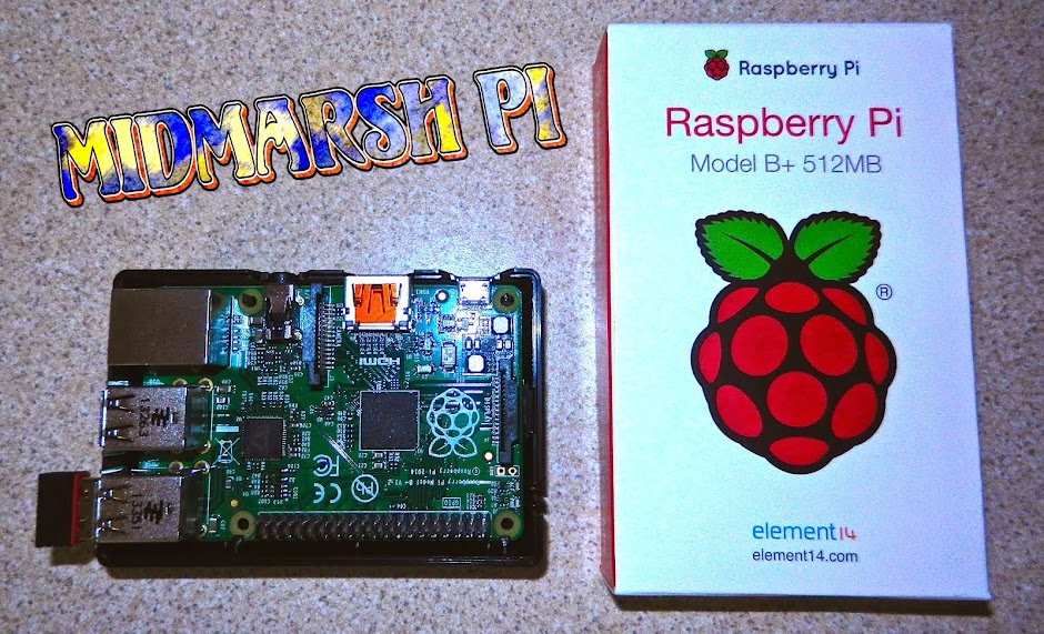
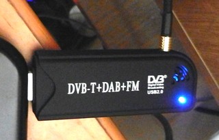
I still had my DAB dongle ...
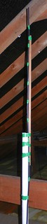
... connected to my home made collinear aerial in the roof space.
Details for making the aerial can be found on Radio Antics.
After downloading the software and fitting the dongle it didn't take too long to get the software working and sign up (free) to Flight Aware. This is needed as the RPi sends the signals it receives to their servers. Next a web browser is used to log in to the RPI and the information is plotted in real time on a map:
Clicking on an aircraft brings up information about speed and height on the right and a line shows the track it took while my system was able to receive the radio information.
I was hoping to be able to see the map on the RPi's own monitor. So far I haven't discovered how, or even if it's actually possible.
No comments:
Post a Comment